UN-ASIGN
Basic Volunteer / crowdsourcing app for the United Nations
UN-ASIGN has been developed for the United Nations and is a free-to-use tool for UN OCHA. AnsuR has been working with the UN for over a decade to provide the UN with an optimal disaster management tool. UN-ASIGN is combined with a UN live mapping tool.
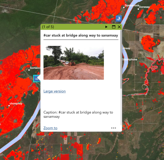
Volunteers and the general public can download UN-ASIGN onto their smartphone and provide in-situ observations of the emergency or crisis they may find themselves in, aiding the UN in developing better situational awareness. These field observations collected through UN-ASIGN are particularly helpful in the evaluations of a crisis situation, complimenting Satellite Earth Observations to provide a comprehensive situational picture.
As a UN Information Management tool, UN-ASIGN is optimized to work under difficult communication conditions with the need for rapid understanding of the data, to provide the most accurate actionable intelligence as soon as possible.
UN-ASIGN has been used by the UN in a number of situations worldwide, to support emergency decision-making processes, particularly in the critical first few days following a crisis, where telecommunication networks are potentially limited and unstable.

Helping the UN develop situational awareness
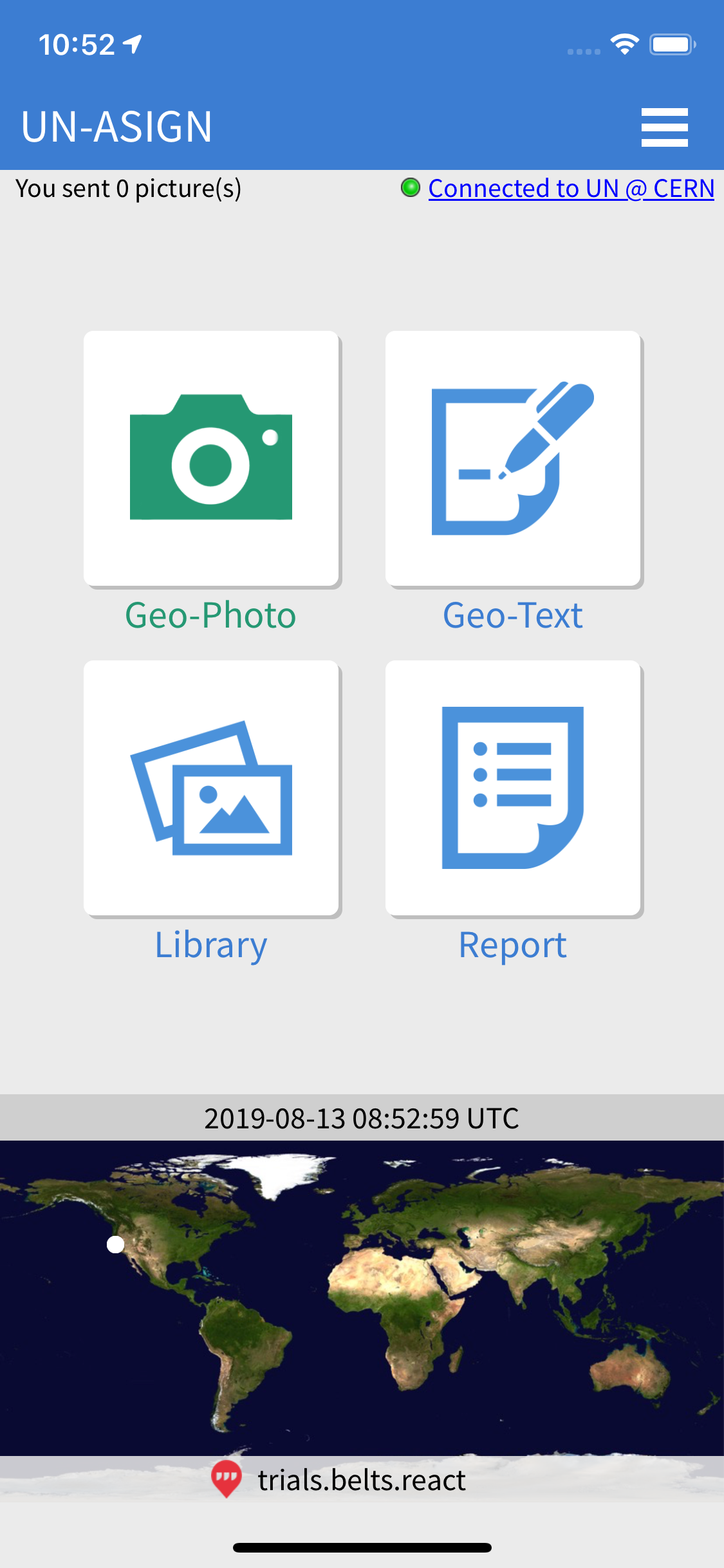
The UN-ASIGN application for smartphones empowers volunteers to reliably capture and communicate trustful photos, videos, text messages, as well as needs assessment forms, for the UN. All data is geo-tagged and time stamped.
The UN-ASIGN data received is safely stored at CERN, Geneva, where the ASIGN server is. UN experts can see desired observations in detail, export and integrate them into a GIS system, such as ESRI. The UN typically fuses this data with a Live Mapping portal. GDACS live »
UN-ASIGN can be downloaded onto Android and iOS smartphones and enables users to autonomously create an account. UN-ASIGN users can see what they have sent to the United Nations by logging onto: https://asign.cern.ch/ » with the same account details.
UN ASIGN FEATURES

Photo & Video
Camptur and send photos and videos quickly through even bandwidth-limied networks
Text Messages
Send geo-tagged and time-stamped messages from the field to remote viewers
Assessment Forms
Fill out reports created by the United Nations for data collection in the field both online and offline
Library
Users can view and edit the observations they submit to the UN


